

In today’s fast-paced world, where technology evolves rapidly, Geographic Information Systems (GIS) have become an essential tool for businesses and government agencies alike. At InterLinkGIS Solutions, we’ve seen firsthand how GIS technology can transform projects from complex and time-consuming to streamlined and efficient.
Understanding the Value of GIS
GIS technology allows organizations to visualize, analyze, and interpret data in ways that are not possible with traditional spreadsheets or databases. By connecting data to specific locations, GIS offers powerful insights that can lead to better decision-making, whether you’re planning a new fiber optic network or managing existing infrastructure.
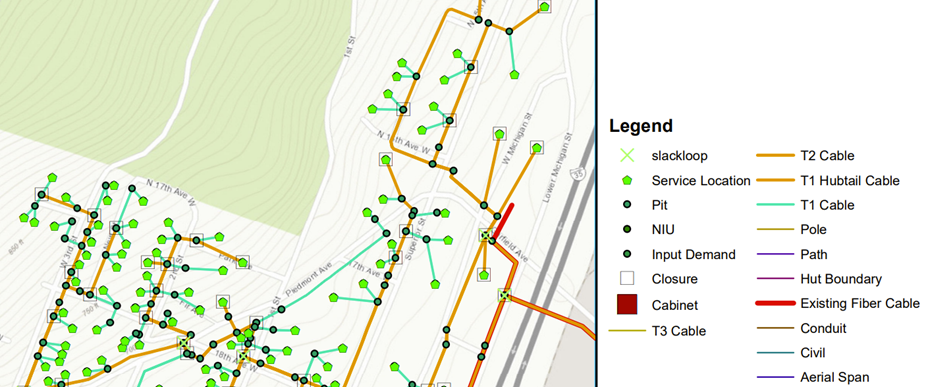
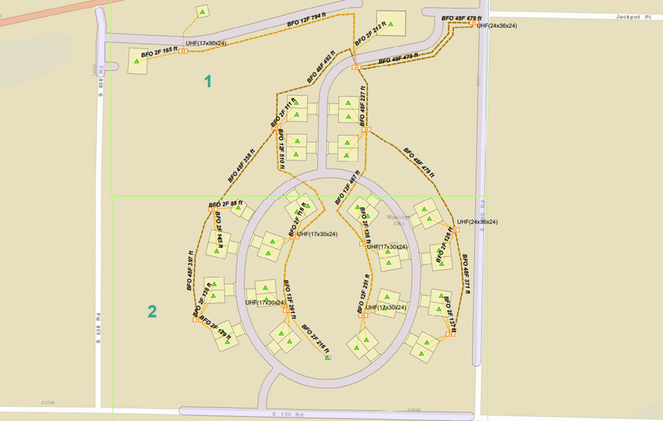
For example, when planning a new fiber optic network, GIS enables us to map out the entire project area and analyze it in detail. We can identify potential obstacles, determine the most efficient routes, and ensure that our designs meet both the client’s needs and local regulations. The ability to visualize every aspect of a project, from existing utilities to topographical features, saves time, reduces costs, and minimizes the risk of errors.
Customized Solutions for Every Industry
At InterLinkGIS Solutions, we understand that no two projects are alike. That’s why we offer customized GIS solutions tailored to each client’s specific needs. Our team has extensive experience across a variety of platforms, including ArcGIS, QGIS, AutoCAD, CrescentLink, and VETRO FiberMaps, among others. Whether you need help with fiber optic network planning, data conversions, or geospatial analysis, we have the tools and expertise to deliver.
One area where GIS is making a huge impact is in telecommunications. With the growing demand for faster, more reliable internet service, telecom companies are under increasing pressure to expand their networks. GIS helps streamline this process by providing detailed maps and data that make planning and construction more efficient. Our team has worked extensively with telecom providers to plan and design fiber optic networks that are both labor and material efficient, helping them meet their goals on time and within budget.
Real-World Impact: From Planning to Execution
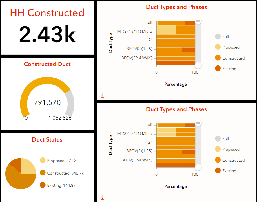
One of the most rewarding aspects of our work at InterLinkGIS is seeing the real-world impact of our solutions. By using GIS, we’ve helped clients successfully navigate the complexities of infrastructure projects, from planning and design to construction management. For example, our customized dashboards have helped telecom providers streamline the construction phase, saving them time and reducing costs.
But our work doesn’t stop at the planning stage. We also provide ongoing support throughout the project lifecycle, ensuring that our clients have the information they need to make informed decisions at every step of the way. This commitment to excellence is at the heart of everything we do at InterLinkGIS Solutions.
Looking Ahead: The Future of GIS
As technology continues to advance, the role of GIS in infrastructure planning will only continue to grow. From smart cities to autonomous vehicles, the future will depend on accurate, up-to-date geospatial data. At InterLinkGIS Solutions, we’re excited to be at the forefront of this rapidly evolving field. We’re committed to staying ahead of the curve and continuing to deliver innovative GIS solutions that meet the needs of our clients.
Whether you’re in telecom, government, or another industry that relies on accurate geospatial data, InterLinkGIS Solutions is here to help. Contact us today to learn more about how we can support your next project with our expert GIS services.
This blog emphasizes the significance of GIS in modern infrastructure, showcases the diverse applications of GIS technology, and highlights InterLinkGIS Solutions’ commitment to customized solutions and client success.
Related Posts
